
Drain tracing and mapping
Accurate mapping of drainage systems using CCTV surveys to support planning, development and maintenance across Cheshire, Manchester and Staffordshire.
✔ Fast turnaround
✔ Clear, easy to understand reports
✔ Accurate data




What is Drain tracing and Mapping?
Drain mapping is useful when:
Planning a new development or extension
Working with unknown or poorly documented drainage systems
Preparing site plans or surveys
Managing or maintaining commercial assets
Investigating complex drainage layouts
Drain mapping is the process of identifying and recording the layout of a drainage system.
Using CCTV surveys and on-site inspection, we locate pipework, connections and flow direction to produce a clear understanding of how the system is configured.
Drain mapping
We use high-definition CCTV equipment to inspect your drainage system internally. This allows us to accurately identify issues without excavation.
You receive:
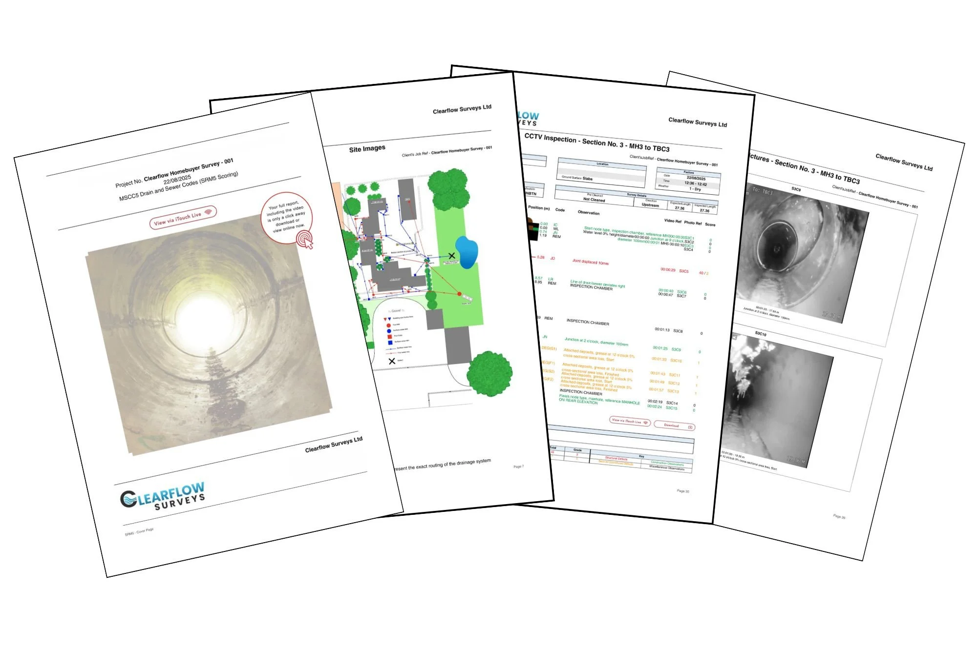
Identification of drainage routes and connections
CCTV inspection where required
Clear mapping of the system layout
A written report outlining findings
Information to support planning or maintenance decisions
Who do we work with?
We support a range of commercial clients, including:
Developers
Contractors
Property owners
Asset managers
Commercial and industrial sites

Why choose Clearflow Surveys?
What will happen:
Book your survey at a convenient time
We carry out a CCTV inspection on site
We produce a clear, professional report
We aim to keep the process simple and efficient so you get the information you need in a timely manner.
We pride ourselves in:
✔ Accurate, reliable mapping of drainage systems
✔ Clear reporting to support decision-making
✔ Fast turnaround to keep projects moving
✔ Advanced CCTV inspection equipment
Past Projects
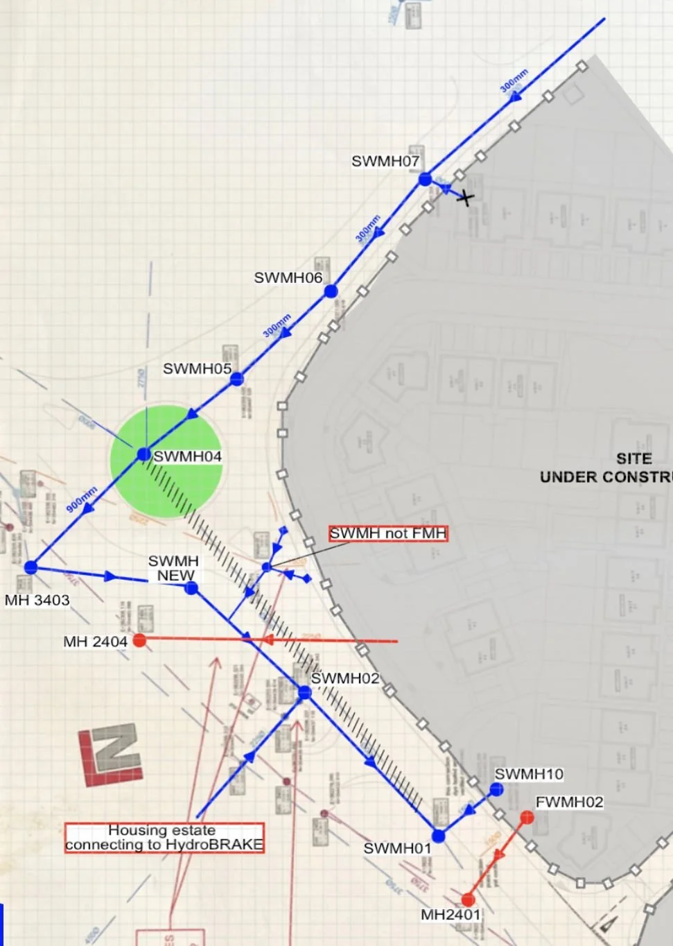
Examples of drain tracing and mapping projects
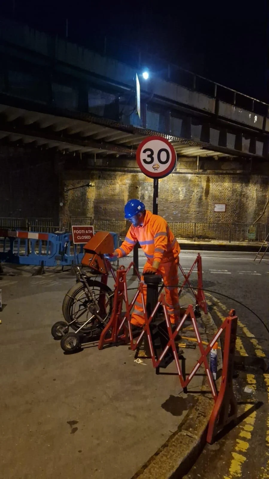
Drain tracing and mapping in Selhurst, London.
Drain tracing and mapping in Talke, Staffordshire.